Features 「距離測定」地図をタップで簡単
1.
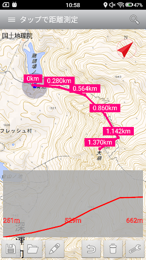
By tapping the map, you can easily measure the distance.2.
route has been created, you can save it as a GPX file.3.
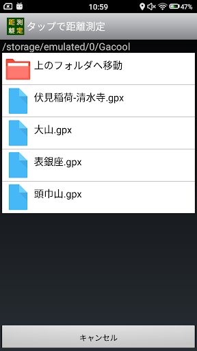
You can read and edit existing GPX file.4.
Depending on the altitude of the point you tap, you can view the elevation graph.Production: susumu hirao
📊
Productivity Tools
Boost your productivity with powerful tools and features.
🍽️
Food & Dining
Discover recipes and order food from your favorite restaurants.
Screenshots
See the 「距離測定」地図をタップで簡単 in Action
Get the App Today
Download on Google Play
Available for Android 8.0 and above